Aerial Survey Work Scheduled for Friday, April 10
Posted on: April 8, 2020
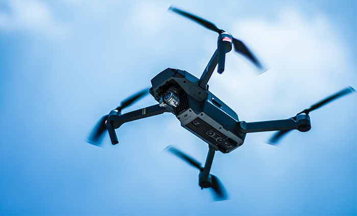
On Friday, April 10, 2020, a licenced pilot fly a quadcopter, or drone, about 250 above the ground over the south end of Ranshaw Way (Highway 965) and over the University of Iowa Hospitals & Clinics site, located on the southwest corner of the intersection of Ranshaw Way and Forevergreen Road. The drone won’t be flown directly over the roadway.
The aerial survey work is being performed by Shive-Hattery in advance of future Phase 5 improvements to Ranshaw Way. The drone will get accurate aerials of the site to overlay on the survey. The aerial images and the elevation data is useful for the engineers design work, and helps make sure we have accurate locations of pavement jointing tied to the on-the-ground survey.